Tuesday, July 18, 2017

Oh Play Me Some Mountain Music, Our Final Days on the Blue Ridge Parkway – Mile Posts 241 to 0 [June 29 - July 1, 2017]


Mabry Mill (MP 176)
At the North Carolina/Virginia border is the very, very special Blue Ridge Music Center (MP 213).  A small temporary sign at the side of the road said, “Live Music Today.”  From noon to 4pm, 2 musicians played Old Time Mountain Music on a covered porch cooled by a gentle breeze.  One a virtuoso instrumentalist and the other an 80+ year old raconteur, they played and sang old time music and told stories about how and when each of the songs were written.  We stopped for a quick listen and stayed for 2 hours.  It was blissful.  The Blue Ridge Music Center tells the story of the musical tradition that is created by and tells the story of life in these mountains.  Seen by some as the basis of the blue grass and country music genres, Old Time Mountain Music is a living and evolving genre in its own right.  In addition to the delightful live music, the Music Center has an exhibit about this unique music form.  We also saw many of the old videos and recordings that are on display here at the Country Music Hall of Fame in Nashville in displays about the origins of Country Music.  The gift shop carries quite a few CDs.  We bought two and played them throughout the rest of our trip along the BRP.
As we entered Virginia, the valleys started to look more cultivated

Just North of the Music Center is the photogenic Mabry Mill (MP 176).  An old grist mill, Mabry is so lovely that photos of it have appeared on post cards from other states – as being located in that state.  We had a nice leg stretching walk around this pretty mill. 
The Great Valley - the Shenandoah Valley
At this point the BRP starts to look like any rural, windy, two lane road.  The road is flatter, and the vistas less dramatic.  There are still gentle mountains and the overlooks show the cultivated valleys.  We stopped for a short hike at Peaks of Otter (MP 86) a longtime, lovely mountain vacation destination area.  There is a lodge here and a tiny lake with a paved path around it, and hikes and buses up the nearby Peaks. 

The BRP descends down to 649 feet at the James River (MP 63.6).  The Visitor Center there has a concrete walkway underneath the Parkway bridge that crosses the river, that takes you to an old lock that was used to help barge traffic navigate the elevation changes in the river.  We got caught in a wild rain storm here, and ran from tree to tree to the walkway (under the bridge) to the Visitor Center roof overhang and still managed to get back to the motor home thoroughly drenched.  The nice thing about the way we travel is that there is always a dry set of clothes in the back of the motor home.

Bye for now!
Here is our Blue Ridge Parkway trip by the numbers:

6053  highest elevation on the BRP
1285  miles to Tennessee and then back home along the BRP
649    lowest elevation on the BRP
3        states
7        campgrounds
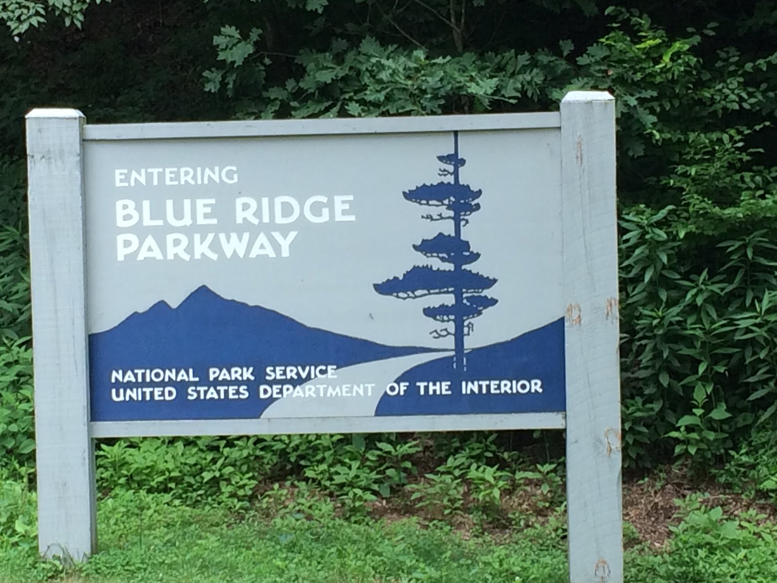
1        National Park (Happy 101st Birthday NPS!!)

An Amazing Viaduct and a Beautiful Lake – Blue Ridge Parkway Mile Posts 339.5 – 241 [June 28, 2017]

Lin Cove Viaduct (MP 304)
The Blue Ridge Parkway was not built continuously from end to end.  Construction began in 1935 as a CCC project similar to the work on the Skyline Drive.  Virginia and North Carolina purchased pieces of the land, and donated it to the federal government to be administered as a park by the National Park Service.  The intent was to leave as little scar as possible on the mountains, and to build a Parkway that blended into the mountains.  Construction was difficult.  Some of the areas were challenging to access, and others had rough roads that could not transport the equipment needed to build the Parkway.  Work continued until WWII and started up again fitfully in the 1950s and 1960s.  Finally, in 1968 the Parkway was complete except for a seven mile stretch around the fragile ecosystem of Grandfather Mountain in North Carolina.
The Parkway blends with the mountains
In 1979 work moved forward to design and build the amazing Linn Cove Viaduct (MP 304), a 1,200 foot segmented, suspended section of the Parkway around the edges of Grandfather Mountain.  Each segment of the Viaduct is unique and fitted to the previous and next sections by computer design.  High tension cables channel through the segments, tying them together and forming a marvelous bridge that hugs the contours of the mountain and only touches it in a few places.  You can hike beneath the Viaduct, for a close up view of the ingenious design. 
Hiking under the Viaduct
Other portions of the seven mile stretch were built between 1968 and 1987, and the completed Parkway was dedicated September 11, 1987.
Can you see the grandfather in Grandfather Mountain?
Another view of the Linn Cove Viaduct

Traveling further north we stopped at the Julian Price Memorial Park (MP 297) and hiked around lovely Price Lake.  Julian Price was an insurance magnate and dreamed of building a place for employees of his huge insurance empire to vacation in the mountains.  His premature death interrupted these plans and the land was donated to be part of the Parkway.  As part of the terms of the donation, Boone Fork was dammed to create this pretty little lake.  The hike around the lake takes you through rhododendron tunnels, and hardwood forests.  It was a fun walk for us, and a cooling swim for Tiki.
Price Lake (MP 297)
Entering a rhododendron tunnel - Price Lake
Mountain Laurel - Price Lake

That night we stopped to boondock camp at another NPS campground on the Parkway at Doughton Park (MP 238).  There were a few more campers here, we were starting the long July 4 weekend, but there were many empty spots.  A mile long hike through woods and several meadows takes you from the campground to the Brinegar Cabin (also accessible by road - MP 238.5), a simple log cabin representing how many families in the region eked out a living on the land growing vegetables and livestock.  Mr. Brinegar brought in extra money by making and selling shoes to his neighbors. 
Lovely meadow that we crossed on the way to Brinegar Cabin
Brinegar cabin (on right) and barn (MP 238.5)

Prior to setting out on our trip, we had checked some guide books to the BRP out of the library.  They did not give us the information we had been wanted about the Parkway.  At the Linn Cove Visitors Center we found the book we had been hoping for, Hiking and Traveling the Blue Ridge Parkway by Leonard M. Adkins.  The book describes what you will see at each overlook, and has maps and directions for all of the hikes along the Parkway.  We recommend you get a copy of this book before you set out on your own BRP adventure.

The Mountain to the Sea Trail (MST) starts in the Smokeys and ends on the Outer Banks.  Some parts are still being "planned."

Monday, July 17, 2017

Beautiful Rugged Mountains - Blue Ridge Parkway Mile Posts 469.1 - 339.5 [June 26 – 27, 2017]


Beautiful Blue Ridge Mountain view (MP 430.7)

Winding 469 miles connecting The Great Smokey Mountain National Park and the Shenandoah Mountains National Park, the Blue Ridge Parkway (BRP) is a two lane road that climbs and curves its way along mountain ridge lines in North Carolina and Virginia.  It offers steep climbs and descents, breathtaking vistas, tunnels, hikes, beautiful mountain music, and gorgeous views.  The BRP is stated to be the most visited unit of the National Park Service (Happy 101st Birthday NPS!!). 
MP 469.1

We had been in Tennessee visiting with our brand new, beautiful grandson, Asher Griffiths.  We spent a wonderful week helping the young family and enjoying the newest addition to our family.  When it was time to head home, we decided to meander the entire length of the BRP.  After all, it is almost in Leslie and Natalie’s backyard at the Southern end, and almost in our backyard at the Northern end.  Perfect!
Rugged mountain view (MP 422.4)
The BRP is numbered by mileposts North to South with MP 0 in Virginia and MP 469.1 in North Carolina.  We entered the BRP at it’s southern most point (MP 469.1) near Cherokee NC.  This part of the Parkway has steep grades as it climbs up to the ridgeline of the mountain chain, with deep scenic drops at the side of the road.  This part of the BRP also has many tunnels, some of them only tall enough for the ShoreXplorer (height 12’4’’) to drive through by driving down the middle of the tunnel under its highest point and straddling the center yellow line.
Pano of Cowee Mountain Overlook (MP 430.7)

The scenery was glorious with rhododendron blooming on the side of the road, dense silent forests and scenic vistas at every turn.  The morning chill called for long pants and sleeves.  Quite a difference from the late June swelter in the lowlands.
Over a mile up (MP 431.4)

We stopped at the Waterrock Knob Visitor Center (MP 451.2), the southernmost Visitor Center on the BRP, located on a bald area with scenic views from every corner of the parking lot.  We also climbed to the breathtaking highest point in the Parkway (MP 431.4) at 6053 feet.  
Looking Glass Rock shines when covered with water or ice (MP 417)

Then, we followed the Parkway around Asheville NC and stopped at the Folk Art Center (MP 382) where local crafts people and fine artists sell their lovely and pricey creations.  We took a hike in the Craggy Gardens (MP 364) where you walk through tunnels of rhododendron and mountain laurel to a bald with unobstructed views of the nearby Black Mountain Range.  Some mountain laurel was blooming above and beside us in the thicket, and we could only imagine how gorgeous it must have been earlier in June when all of the plants are in full bloom.
Moonshine Creek

We entered the Parkway late in the day on the first day and spent the first night in a crazy, cozy, delightful campground off of the Parkway on Moonshine Creek.  The second night we boondock camped in an NPS campground on the Parkway at Crabtree Falls (MP 339.5).  We shared that campground with 3 other RVs and a deer that didn’t give up munching on the grass (with one eye on us) until Tiki (who was tired of standing and quietly watching it with us) barked at it.  Then it strolled away.  No urgency on the Blue Ridge Parkway.