 |
| Highland (Cape Cod) Lighthouse |
Outer Cape Cod is beautiful.
The narrow outermost end of this 60-mile-long, curved peninsula is lined
with mountainous sand dunes, in some places covered with trees, that fringe
wide sand beaches along the Atlantic Ocean on one side and Cape Cod Bay on the
other.

Cape Cod has an iconic fish hook shape. "Outer Cape" is what they call the curved pointy end of the hook. It, and other areas further down the Cape, are the home of the Cape Cod National Seashore. The Cape's close geologic and historic connection to the sea is best described by the many lighthouses that protect mariners along its coast. We visited two of the four on the Outer Cape.
 |
| Highland Lighthouse from the rear |
The Highland Lighthouse is less than a mile from where we
are camping in the town of North Truro. It is sometimes referred to as the Cape
Cod Light because it is often the first light seen by mariners approaching Cape
Cod from Europe.
 |
| The view from the top |
Highland Lighthouse was built at the top of a 125-foot clay
cliff. This part of Cape Cod erodes at a
rate of 2-3 feet a year, and the 1831 brick structure eventually became
perilously close to the edge. So, in
1996 it was moved back 450 yards from the edge.

The lighthouse and part of the lighthouse keepers’ home are
open to the public. We climbed the 66
stairs up the 60-foot-tall structure to enjoy the beautiful view.
 |
| Highland Light stairs |
Near the lighthouse is Highland House, an old tourist guest
house that is now a museum, and the historic Highland Golf Links 9-hole golf course. It was interesting to approach the lighthouse
with golfers playing on both sides of the path.
 |
| Race Point Lighthouse |
While you can drive your car on roads to the Highland Lighthouse, you
must use a 4-wheel drive vehicle or hike out to reach the Race Point
Lighthouse. Race Point is located at the
furthest most point of the “fish hook” before it curves back on itself. It is named for the strong tidal currents or
“races” that make navigation around the tip of Cape Cod so treacherous.
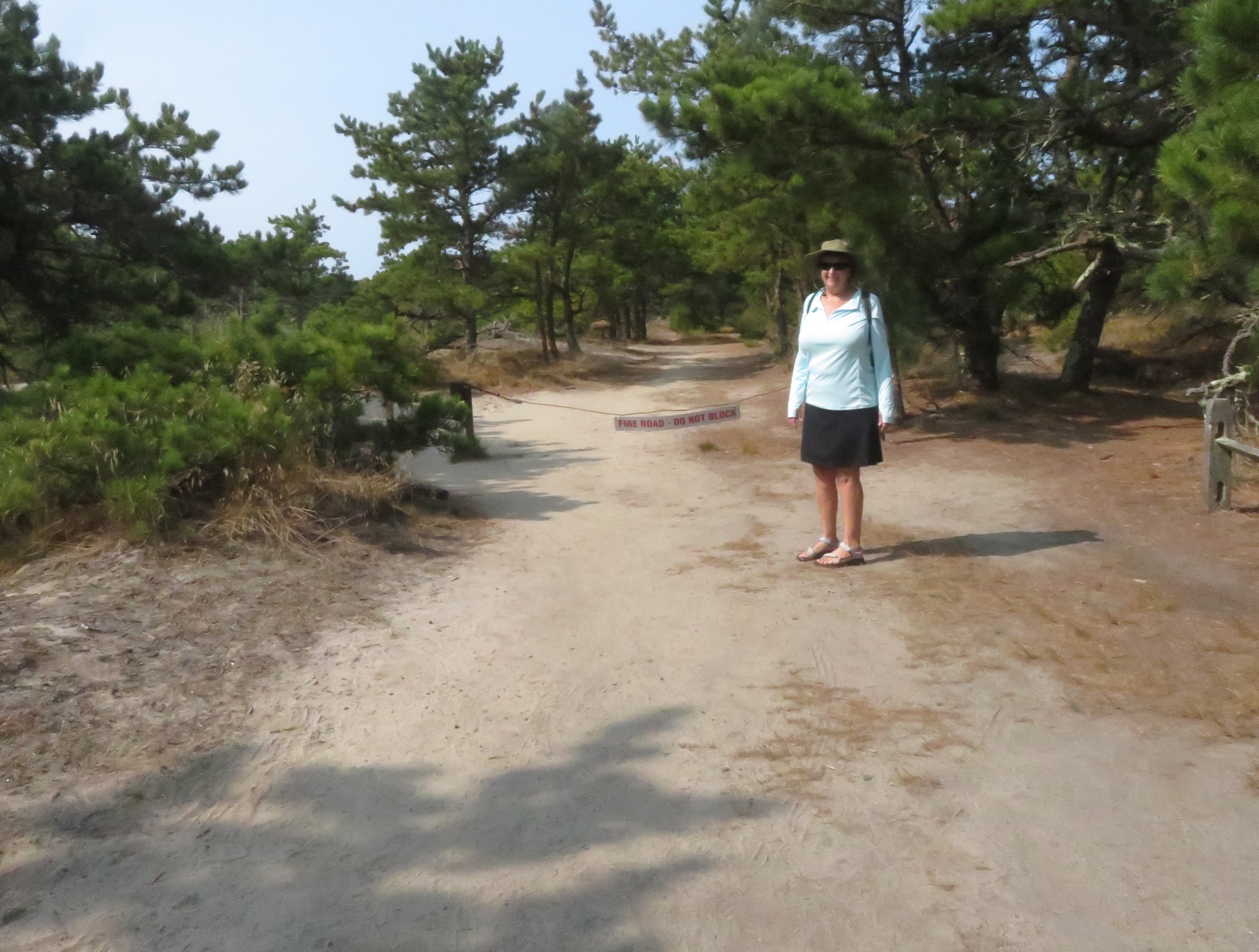 |
| The start of the walk |
You time our hike at low tide, because that allows you to cut across an area of tidal wetland that is drained when the tide goes out. It is about 1.5 miles each way. At high tide, the walk is much longer. The tides are 7 feet here.
 |
| Beautiful marshes as the tide recedes |
The walk starts at the tiny Hatches Harbor parking lot. The trail takes you through the woods, then
along an elevated dike across much of the wetlands. This part of the hike is lovely and
scenic. Most of this section of the walk
is through loose sand, so it is slow and strenuous going.
 |
| Climbing the dunes |
Then you slide down the side of the dike and traipse across
the emptied wetland. At the other side,
you scramble back up over the dunes (more loose sand) to arrive at the
lighthouse.
 |
| So pretty, so isolated |
The lighthouse was not open when we were there, though it is
open for tours 2 Saturday’s a month. The
lighthouse keepers house operates as an inn. If you have a four-wheel drive vehicle, you
can stay out there at the edge of the world.
We heard from someone that guests at the inn have seen whales swim by from
their windows. Imagine!

We continued along the 4-wheel drive road (more loose sand)
to a lovely beach hosting a few beach goers and fishermen who found their way
there by truck.
No comments:
Post a Comment